Get to know your watershed!
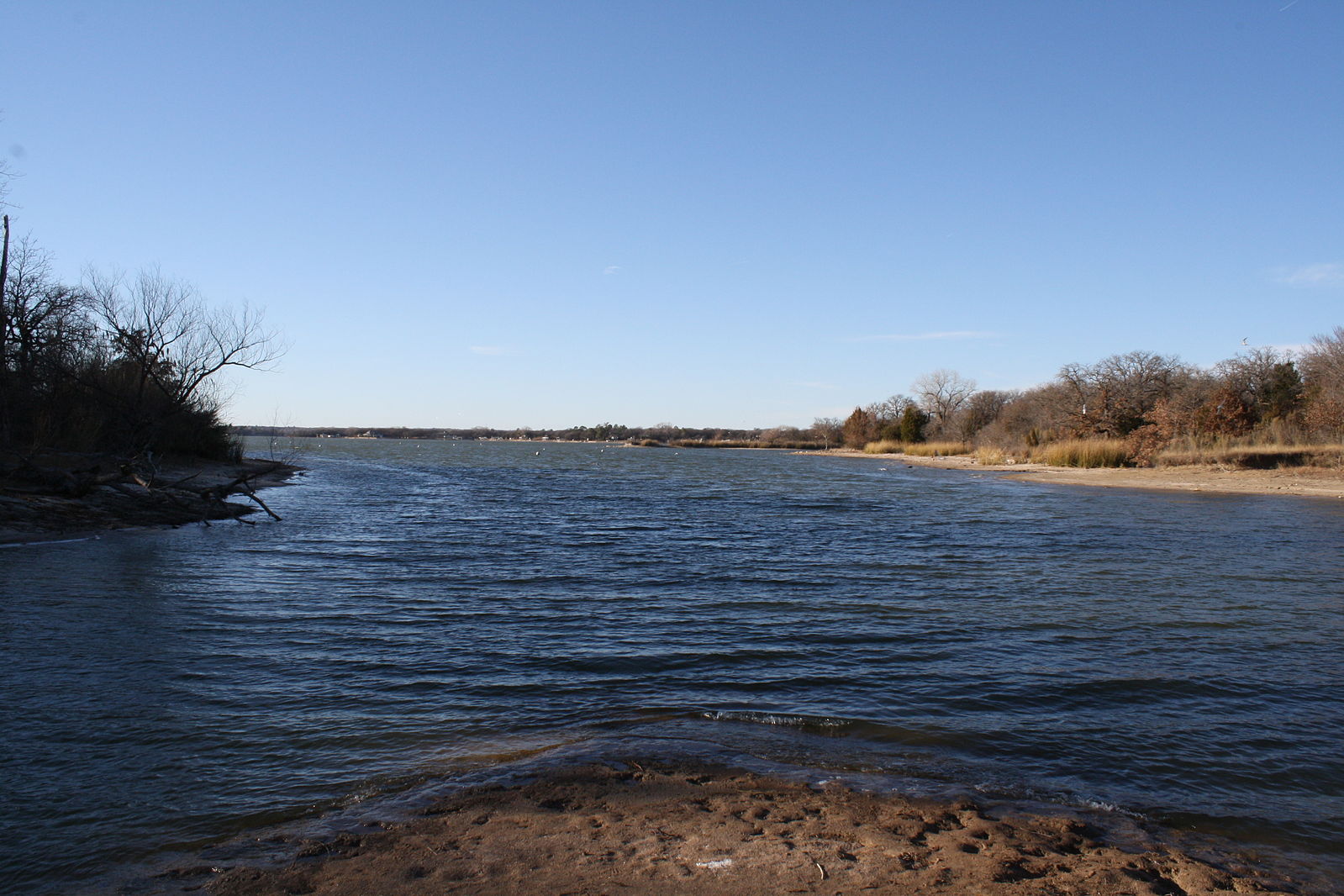
Image credit: Eagle Mountain Lake, view from the Western shore, Tarrant County, TX, by Gordon Reid, Creative Commons Attribution 3.0, unported/Wikimedia Commons.
- J. Perret: Quotes About Water
- jperret.tripod.com/water.html
Benjamin Franklin said, in Poor Richard's Almanac (1746), that, "When the well is dry, we know the worth of water." See this and other quotations. - Tarrant Regional Water District: Watershed Protection for Tarrant County
- www.trwd.com/water-supply/environmental/environmental-stewardship/watershed-protection/
TRWD protects the Big Sandy Creek portion of the Eagle Mountain Lake watershed, Cedar Creek, the Richland Chambers Lakes, and the Trinity River, which is where Tarrant County water comes from. It's also planning projects with Lake Worth (see www.trwd.com/water-supply/environmental/environmental-stewardship/watershed-protection/#arlington). - Trinity River Authority of Texas
- www.trinityra.org/
The River's "conservation and reclamation district" "provides water from reservoir facilities, water and wastewater treatment." It also provides "recreation and reservoir facilities" in the River basin. - Texas Commission on Environmental Quality (TCEQ): Upper Trinity River Watershed Projects: Protecting Recreational Uses
- www.tceq.texas.gov/waterquality/tmdl/nav/uppertrinitywatersheds/112-uppertrinitysurvey
- CBS: What happens to rain that falls in Dallas and Tarrant Counties?
- dfw.cbslocal.com/2014/06/27/map-watersheds-for-dfw-lakes-why-rain-that-falls-in-dallas-provides-drinking-water-to-houston-not-dallas/
Hint: it flows into basins downhill. So where does your water come from if not from your rain? Click to see maps. Also see map to the right.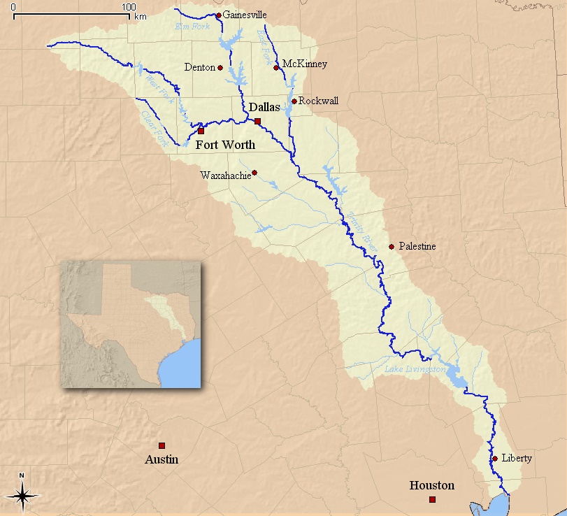
Image credit: Map of the Trinity River watershed in Texas, by I, Kuru, from USGS data originating, Creative Commons Attribution 2.5, 'Share alike'/Wikimedia Commons.
- USGS (United States Geological Survey): Science in Your Watershed
- water.usgs.gov/wsc/map_index.html
For the Fort Wort (Tarrant County, TX) district: click on the Texas Gulf region map then when you go there click on 1203 then on the map of the smaller area on 120301 then on 12030102 for Tarrant County's watershed map!
Here it is:
- District 12030102: Tarrant County
- water.usgs.gov/wsc/cat/12030102.html
- More information on Tarranty County
- water.usgs.gov/lookup/getwatershed?12030102/www/cgi-bin/lookup/getwatershed
- Eric Hadd (Georgia Middle School): Map Your Local Watershed
- academics.smcvt.edu/vtgeographic/lesson%20plans/map_local_watershed.htm
Lesson plan for grades 4 to 12; "Students learn how to map their local watershed from a topographic map, then find the watershed on an aerial photograph. Students use maps and aerial photos from the Web." - Environmental Protection Agency Nonpoint Source
- www.epa.gov/nps/nonpoint-source-volunteer-monitoring
Methods manuals for volunteer monitoring of streams, estuaries, lakes, more!
(August, 2017.)